Panoramic route
Discover the best place to see the Fall in the Eastern Townships, along the Townships Trail.

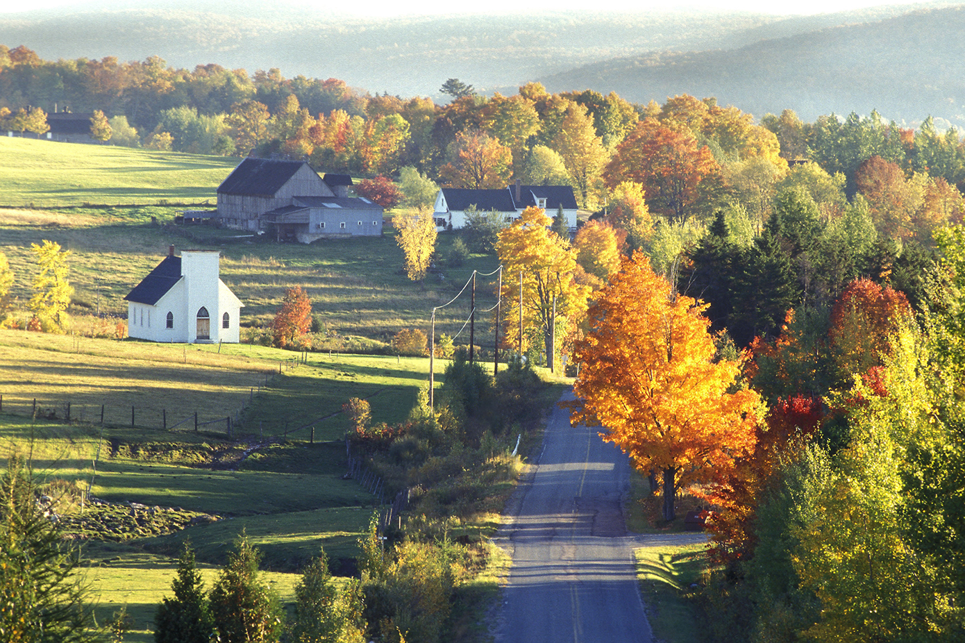
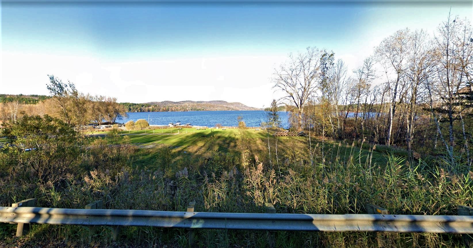
North Hatley
300, rue Mill, North Hatley, North Hatley J0B 2C0 819 842-1018 Website
Located at the outlet of Lake Massawippi, “lake of deep waters,” North Hatley was originally called the Outlet. It was first populated by the Abenakis, who hunted, fished, and held their ceremonies along the St. Francis River. In 1792, Ebenezer Hovey, captain of the militia in Connecticut, and Henry Cull submitted their request to the British Crown to obtain a concession of lands, which they received on March 25, 1803.
North Hatley was founded in 1897 at the northern tip of Lake Massawippi. Like its neighbouring village of Hatley, North Hatley grew thanks to the effort of immigrants gathered under the Company of Associates, whose goal was to obtain concessions in Lower Canada. In 1880, the construction of a rail line consolidated the village reputation as a resort, to the point that between 1902 and 1909, it reached a peak in numbers of tourists.

Canton de Shefford
245, chemin Picard, Shefford J2M 1J2 450 539-2258 Website
Founded in 1792 by Loyalists who fled the United States, Shefford Township has a rich history of pioneer and rural life. At the eastern limit of the Haute-Yamaska region, the old hamlet of Frost Village, named after the Frost brothers who founded it, features several beautiful specimens of local heritage. They are the last vestiges of a community that for a brief time rivaled Waterloo in size.
Today, Shefford is a semi-rural municipality. The landscape is dominated by Shefford Mountain, which offers several beautiful perspectives on the region. Part of the bike trail Estriade is also located here, to the south of the Mountain, as well as Parc écologique Jean-Paul Forand and its walking trails. The region’s 200 km of small secondary roads are great for cycling expeditions.
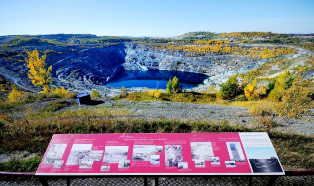
Mine’s observatory
Boulevard St-Luc, face à la rue Panneton, Val-des-Sources Website
One of the world largest open-pit mining site is located in Val-des-Sources. Dug by more than 120 years of mining, Its 2-kilometer-diameter pit can be seen from an observatory overlooking the mine. Free access. A unique view!

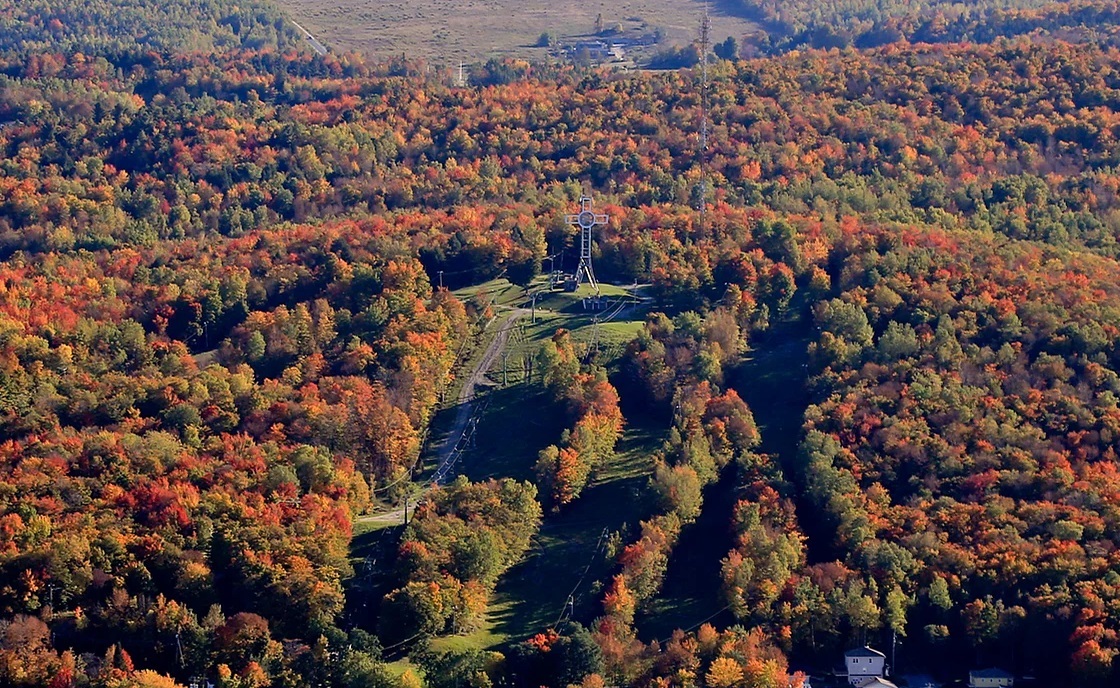
Marmites aux Sorcières, Sutton
, Sutton
Great hiking spot, access through the Parc d’environnement naturel de Sutton and the Village-Montagne Trail
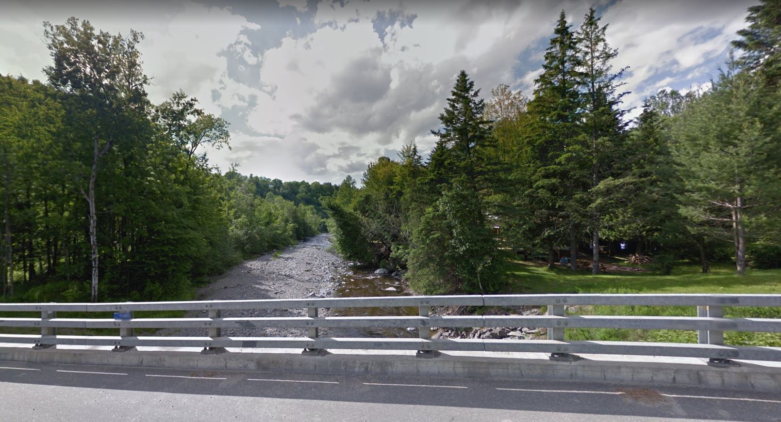
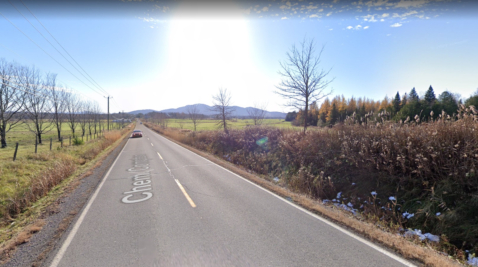
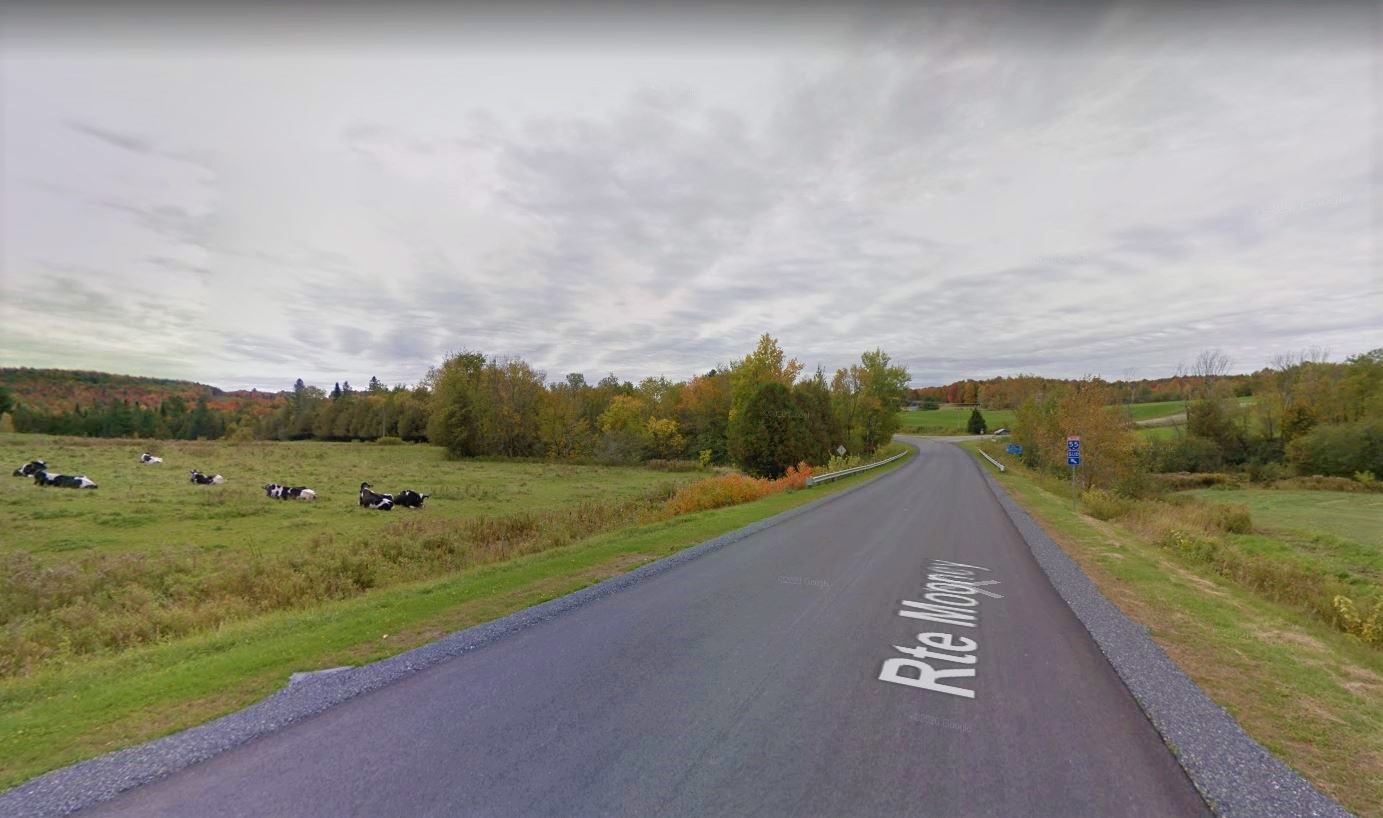
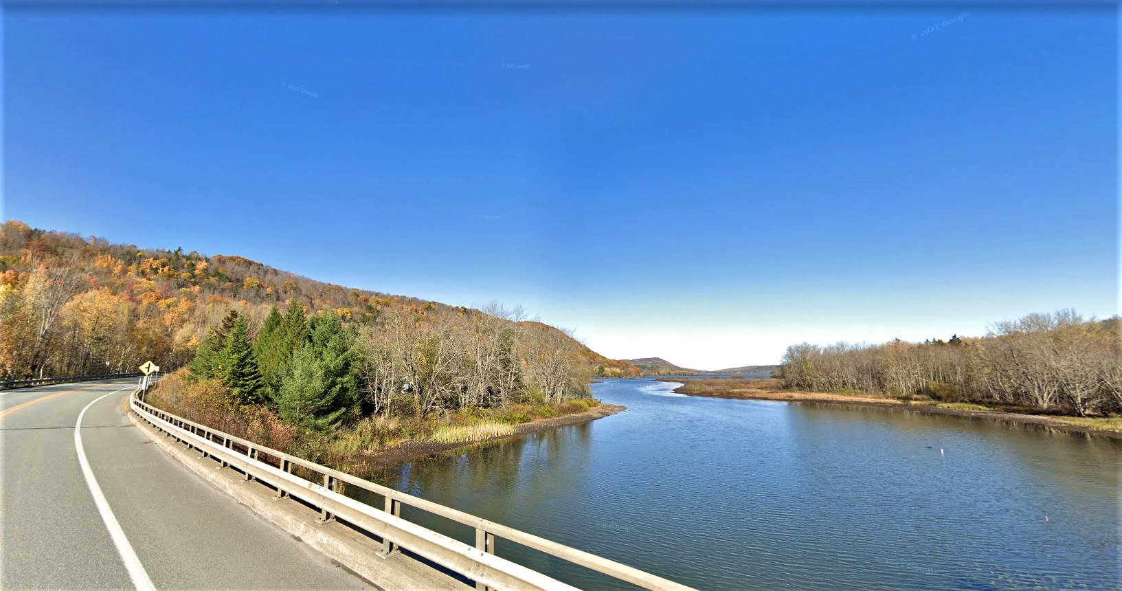
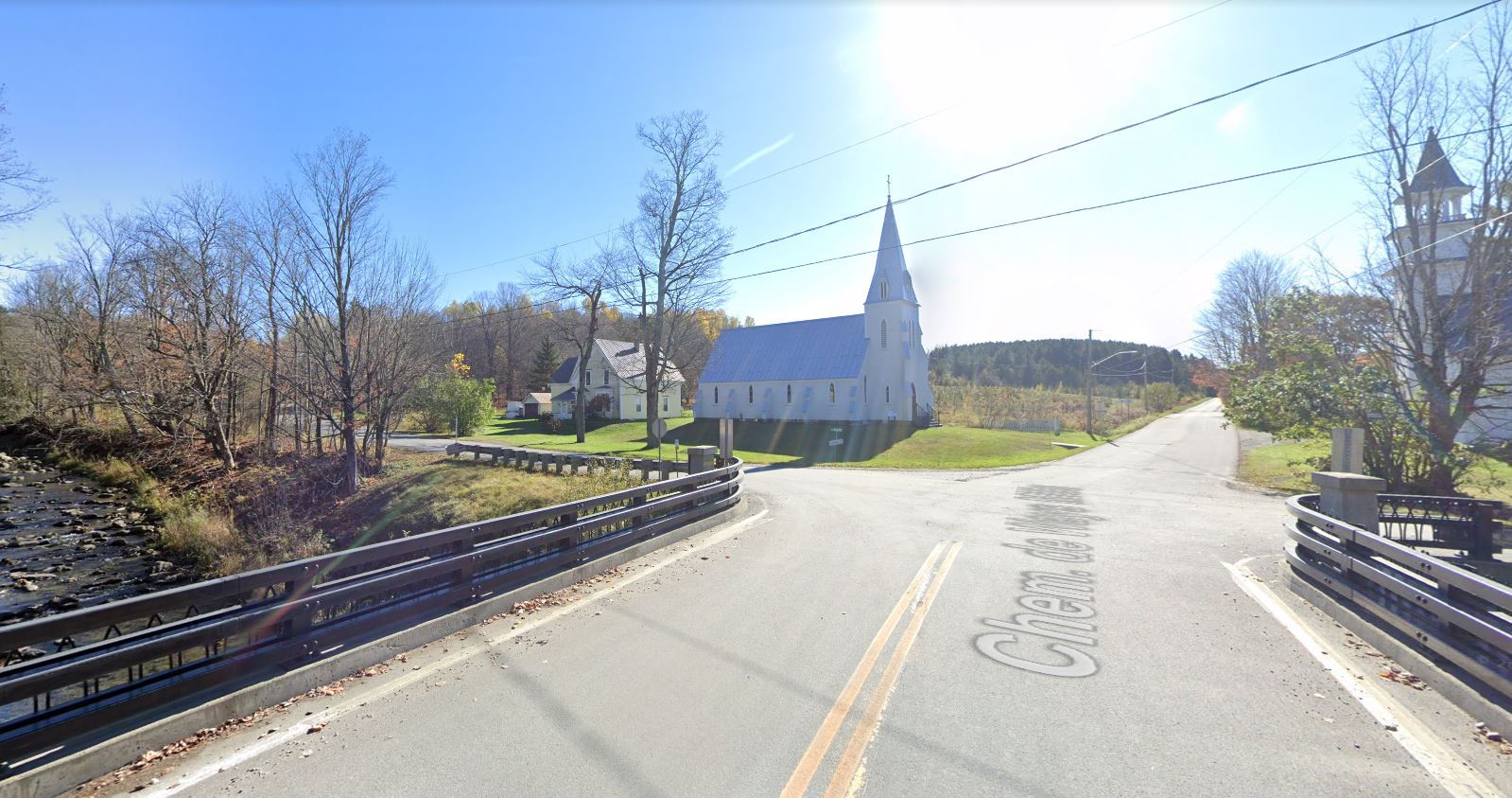
Chemin Bogie, Ulverton
, Ulverton
View of the crossing of the Saint-François river and the Ulverton river.
(picture by Rick May Scott)
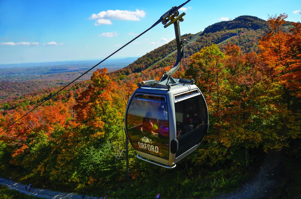
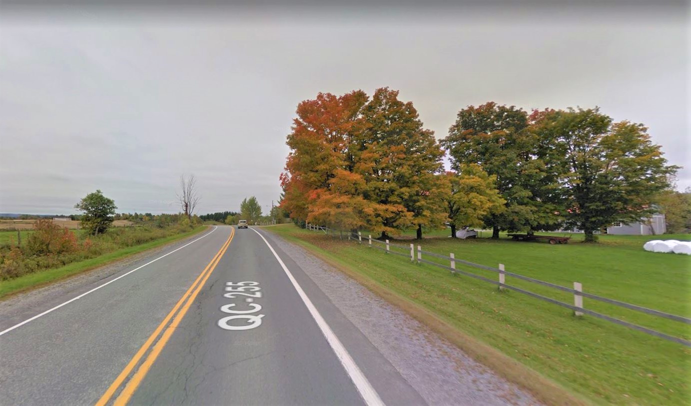
Flambée des couleurs Magog-Orford - Sept. 15th to Oct. 15th 2023
, Magog et Orford Website
From September 15 to October 15, 2023, enjoy the autumn colours at the Flambée des couleurs Magog-Orford! Come explore the jewels of the region and enjoy a variety of activities that combine culture and seasonal pleasures.
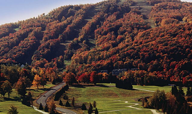
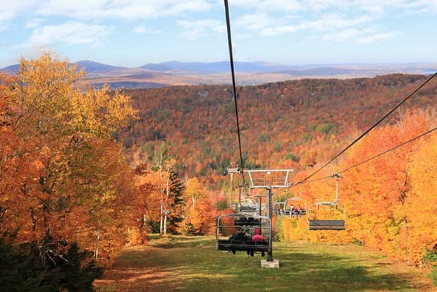
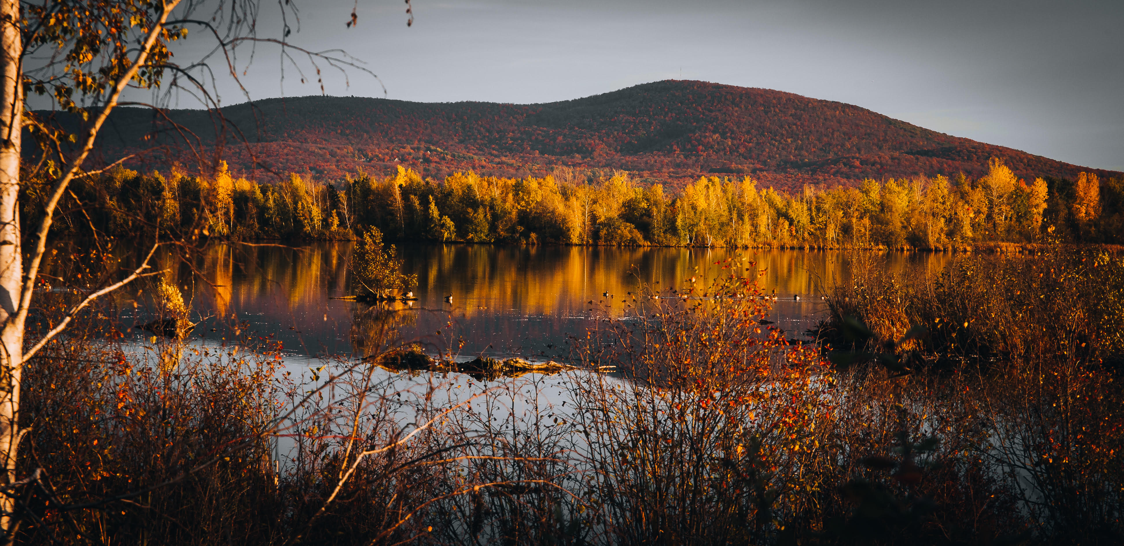
Owl’s Head in colour - Sept. 23th to Oct. 9th 2023
, Mansonville Website
September 23 & 24, September 30 and October 1, and October 7, 8, & 9 2023.
For three weekends, hiking is at its best at Owl's Head! Come and admire one of the most beautiful sceneries of the Eastern Townships! Incredible view of Lake Memphremagog and the surrounding mountains.
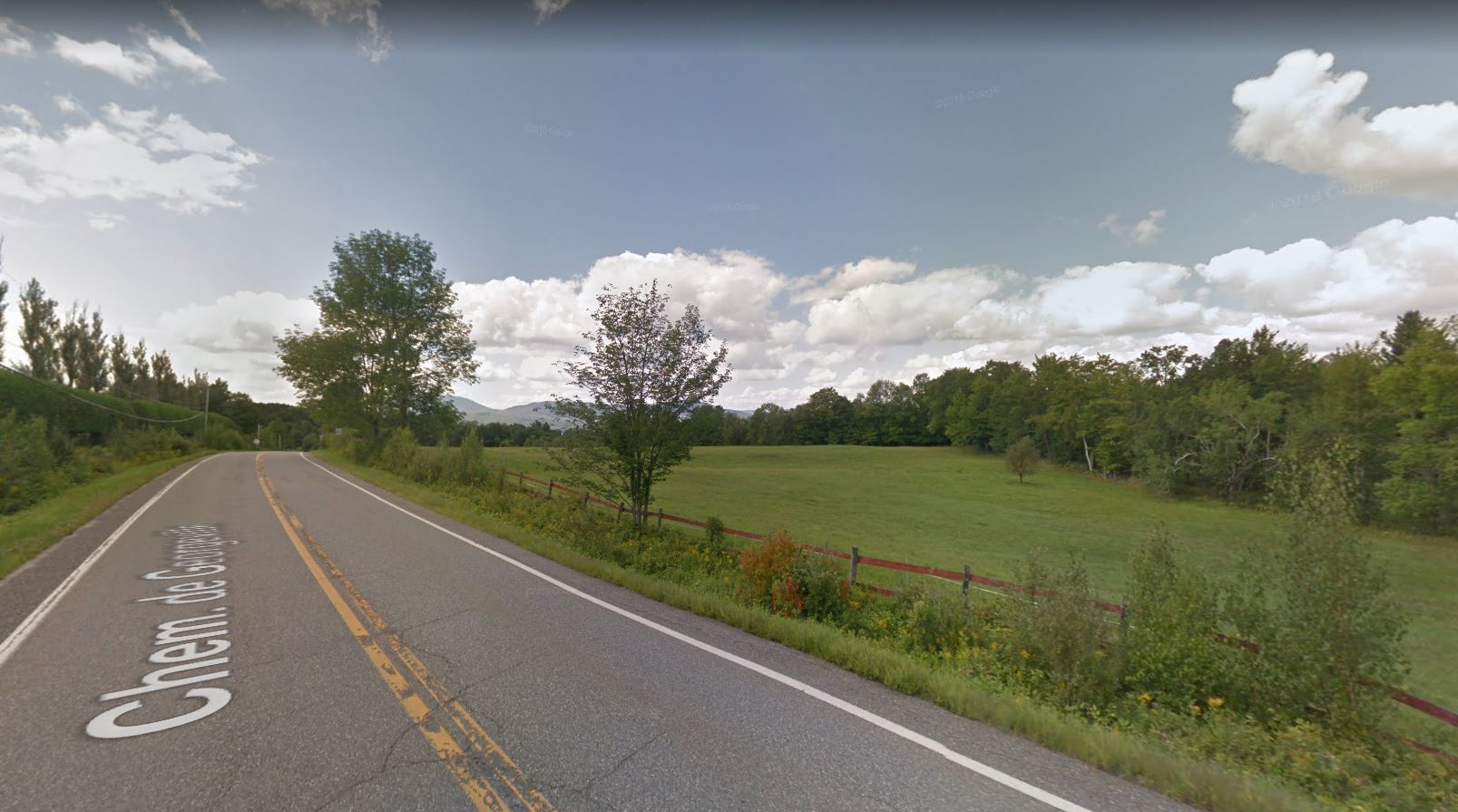
, Fitch Bay (Canton de Stanstead)
Panoramas of forests and mountains along Fitch Bay. Take the opportunity to see the Narrows Covered Bridge, located nearby.
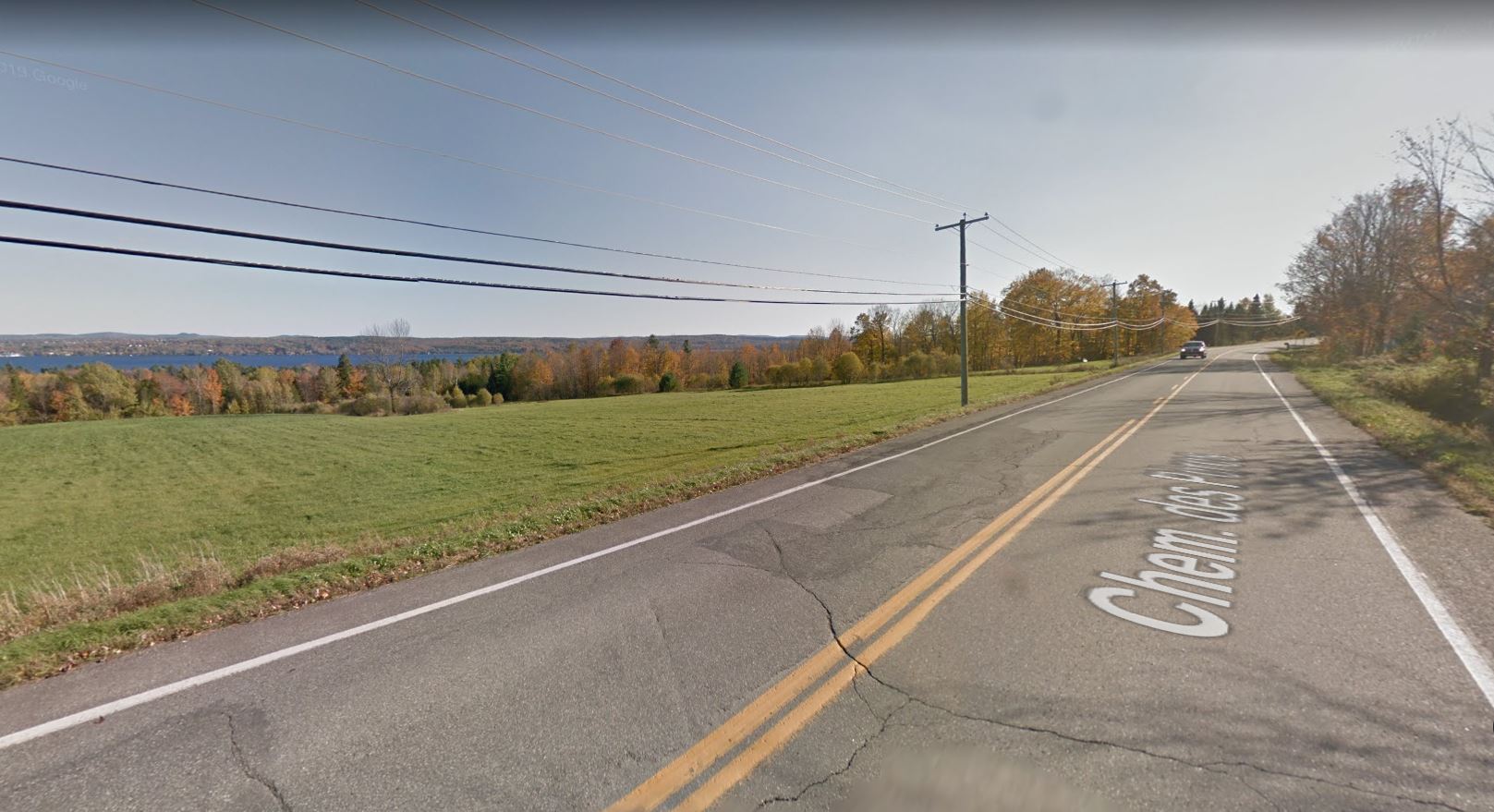
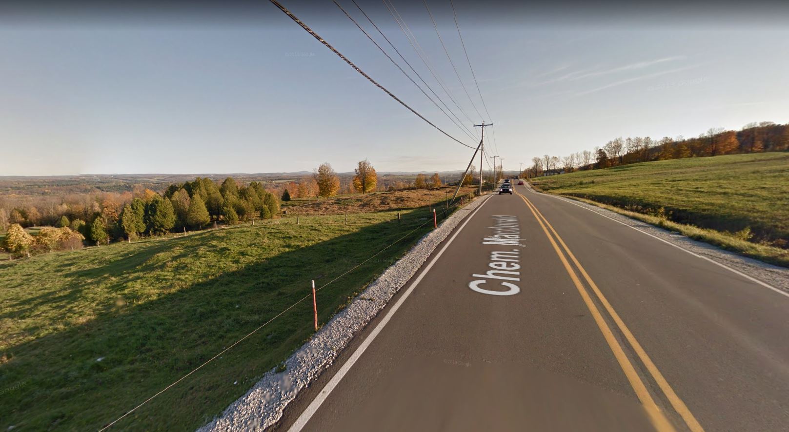
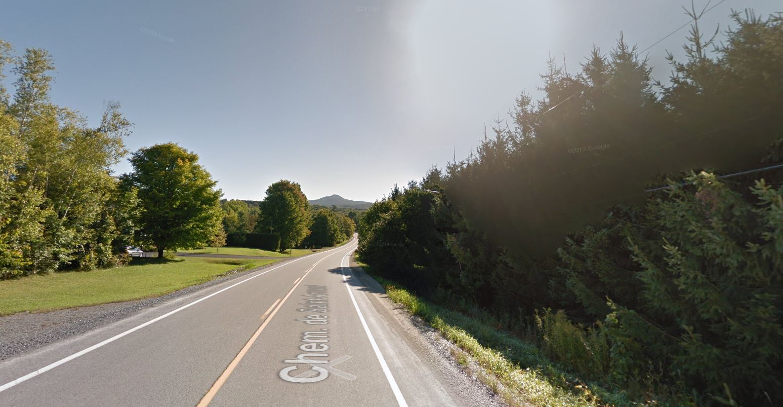
Chemin de Way's Mills, Way's Mills (Barnston-Ouest)
, Way's Mills (Barnston-Ouest)
A heritage path between fields and forests.
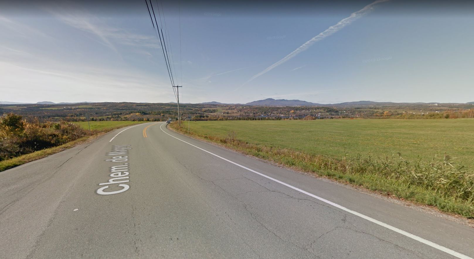
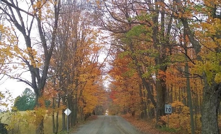
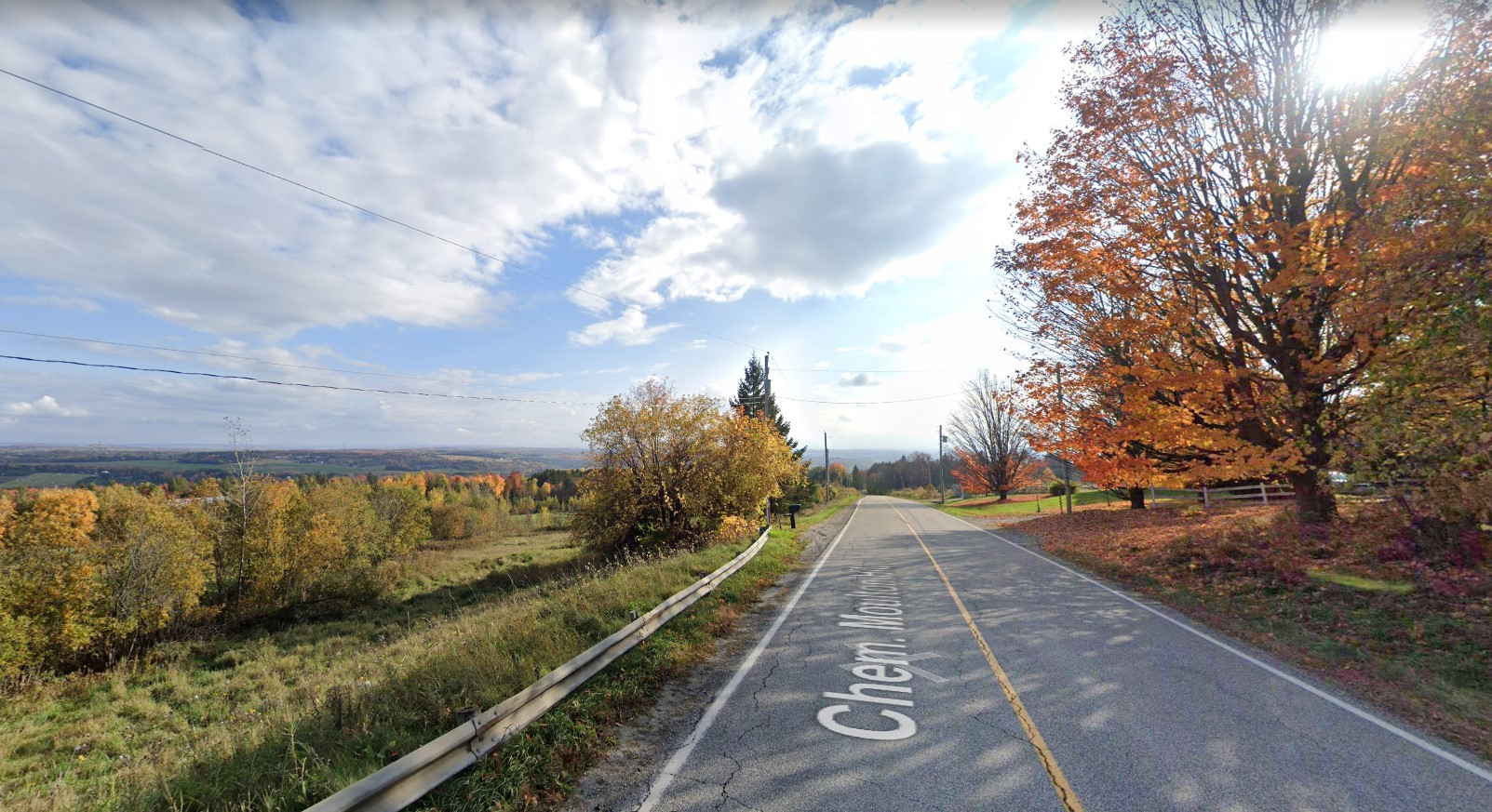
Chemin de Saint-Armand, Frelighsburg
, Frelighsburg
One of the most beautiful villages in Quebec.
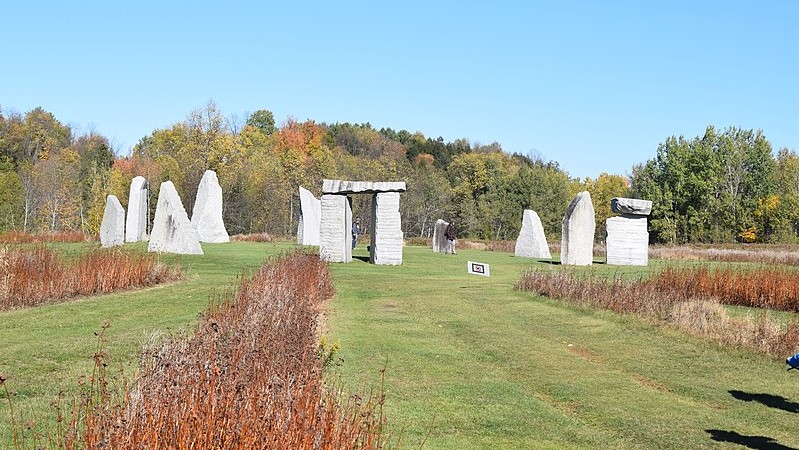
Stone Circle, Stanstead
, Stanstead
Made of local granite, the Stanstead Stone Circle is a perfect place to enjoy nature and rejuvenate.
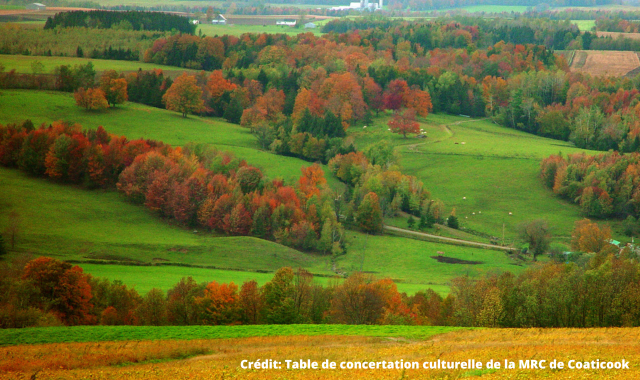
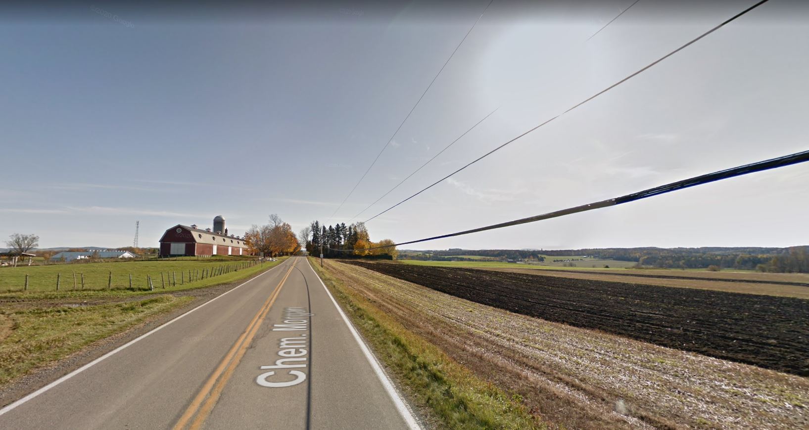
, Compton J0B 1L0
Don't hesitate to stroll along Chemin Cochrane. You will certainly be amazed by the tree arches and the endless valleys.
