Panorama route
The natural treasures of the Townships Trail
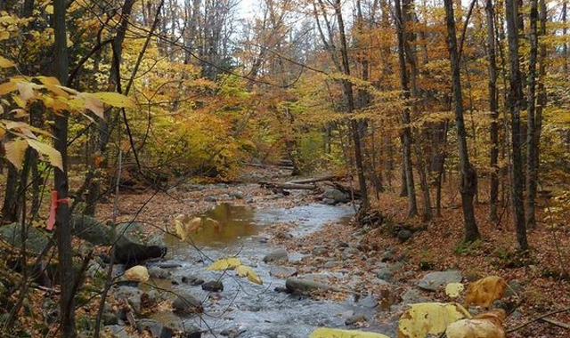
From lush valleys to towering peaks, from glistening lakes to winding rivers, the Townships Trail offers breathtaking views around every corner. Discover the most picturesque spots for taking in the region’s natural heritage and be at one with nature.


North Hatley
300, rue Mill, North Hatley, North Hatley J0B 2C0 819 842-1018 Website
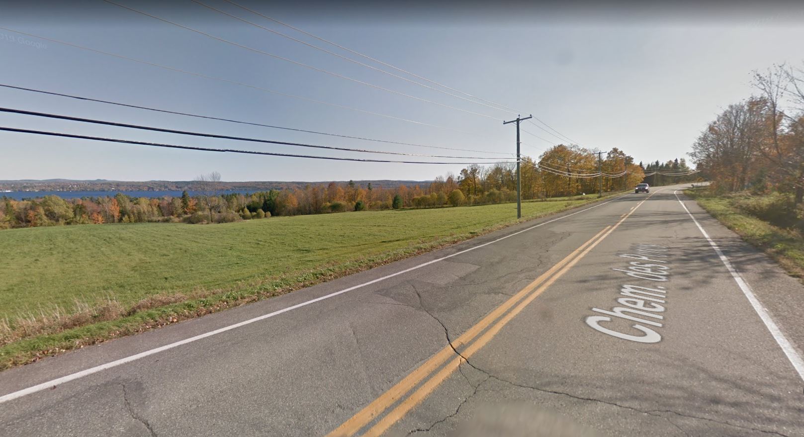
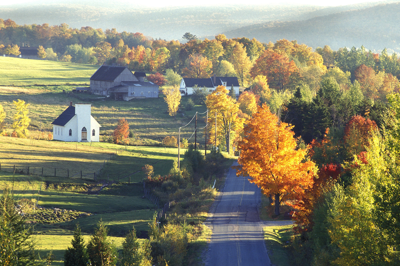
Nestled at the northern tip of Lake Massawippi, North Hatley stands out with its waterfront lifestyle and almost insular character, where water shapes both the landscape and the identity of the village. Founded in 1897 in the Eastern Townships, this iconic village is an invitation to serenity and poetry.
North Hatley developed thanks to the efforts of pioneers grouped within the Company of Associates. This organization aimed to obtain land grants in Lower Canada. In 1792, Ebenezer Hovey, a militia captain from Connecticut, and Henry Cull submitted a petition to the British Crown to obtain a land concession, which was officially granted to them on March 25, 1803.
The village’s growth accelerated with the construction of a railway, strengthening its reputation as a tourist destination. As a result, North Hatley reached its peak as a vacation resort between 1902 and 1909.
Recognized as one of the most beautiful villages in Quebec, North Hatley enchants visitors with its historic architecture, willow-lined shores, and welcoming atmosphere. Fall under the spell of its heritage homes, boutiques, restaurants and cafés, historic churches, and green hills. Here, the art of living blends elegance with simplicity, in a setting where each season unveils its own unique charm.

Canton de Shefford
245, chemin Picard, Shefford J2M 1J2 450 539-2258 Website
Founded in 1792 by Loyalists who fled the United States, Shefford Township has a rich history of pioneer and rural life. At the eastern limit of the Haute-Yamaska region, the old hamlet of Frost Village, named after the Frost brothers who founded it, features several beautiful specimens of local heritage. They are the last vestiges of a community that for a brief time rivaled Waterloo in size.
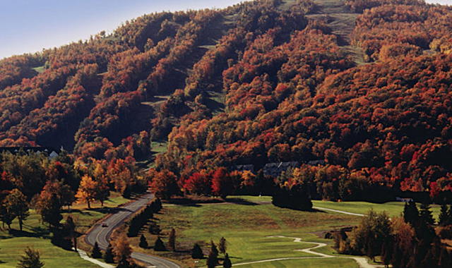
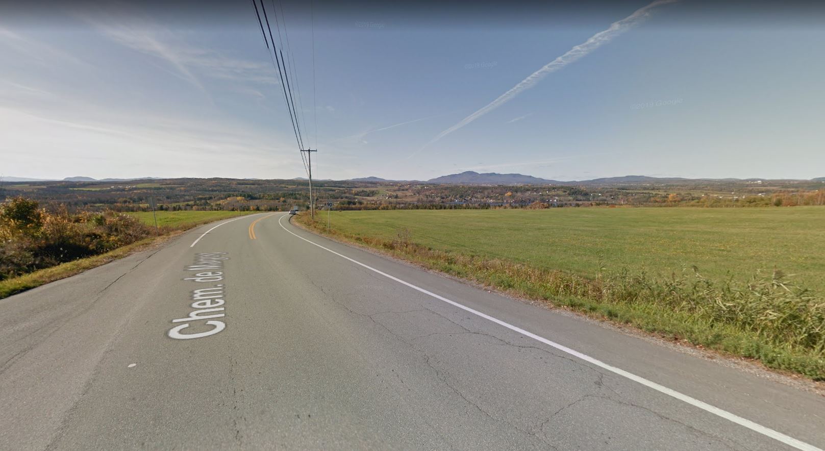
Today, Shefford is a semi-rural municipality. The landscape is dominated by Shefford Mountain, which offers several beautiful perspectives on the region. Part of the bike trail Estriade is also located here, to the south of the Mountain, as well as Parc écologique Jean-Paul Forand and its walking trails. The region’s 200 km of small secondary roads are great for cycling expeditions.

Marmites aux Sorcières, Sutton
Mont sutton, stationnement P3, Sutton J0E 2K0
Great hiking spot, access through the Parc d’environnement naturel de Sutton and the Village-Montagne Trail
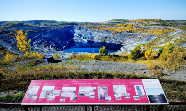
Mine’s observatory
Boulevard St-Luc, face à la rue Panneton, Val-des-Sources Website
One of the world largest open-pit mining site is located in Val-des-Sources. Dug by more than 120 years of mining, Its 2-kilometer-diameter pit can be seen from an observatory overlooking the mine. Free access. A unique view!
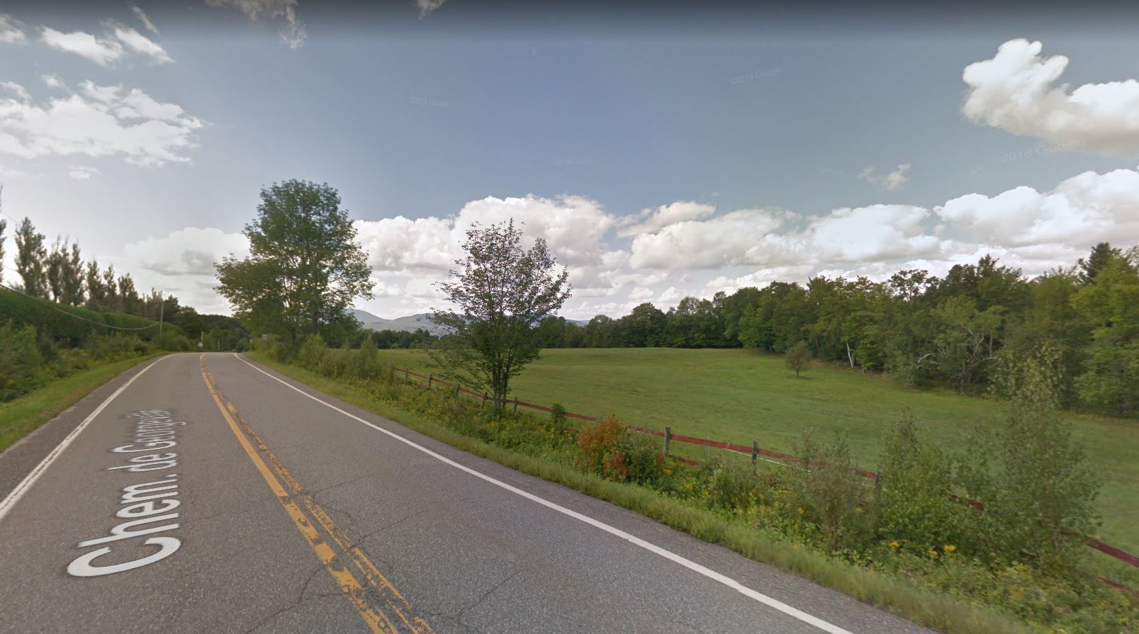
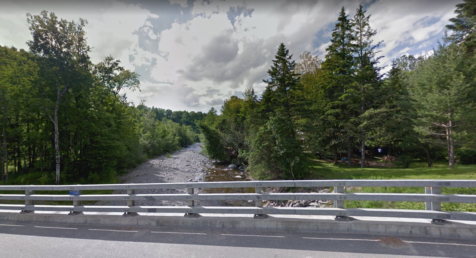
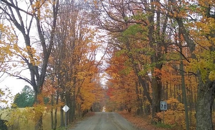
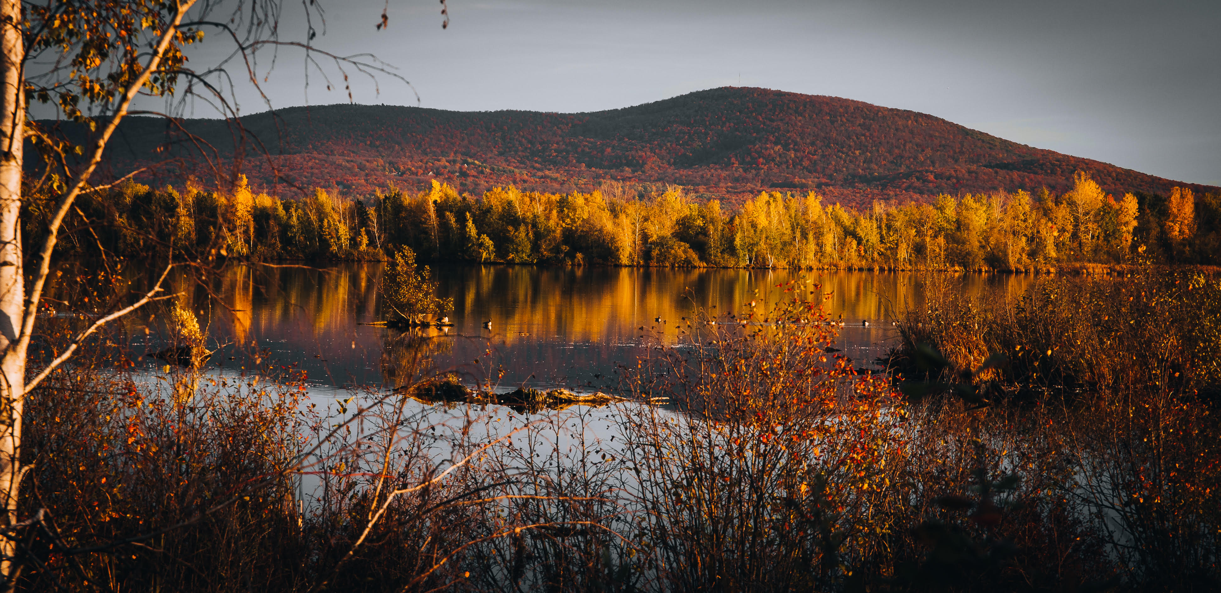
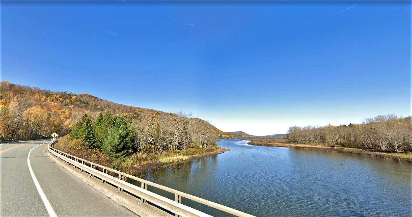
Chemin Bogie, Ulverton
, Ulverton
View of the crossing of the Saint-François river and the Ulverton river.
(picture by Rick May Scott)
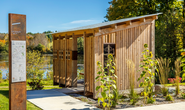
Circuit des sheds panoramiques
, Cookshire-Eaton Email Website Facebook Instagram
Circuit: BaladoDécouverte accessible via app or website
Language: Explanations mostly in French.
Accessibility: year-round
Suggested transportation: by car
Route: 150 km
Points of interest: 11
Target audience: for all ages
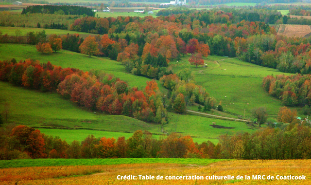
The Haut-Saint-François region, home to some of Québec's most breathtaking panoramic views and an exceptional natural heritage, also holds a richly layered history — all of which unfolds through the Panoramic Sheds Circuit.
Explore
Discover the locations of the sheds scattered throughout this magnificent region, each one framing its natural surroundings to full effect. Your exploration will be enriched by excellent audio clips delivered directly through your device, created to complement the experience.
On site
The sheds are accessible at all times and can be visited freely. Each shed is situated near a stunning landscape and features interpretive panels that tell the story of the surrounding area.
Make the most of your visit
Use the BaladoDécouverte app along with its circuit map to guide you through the Haut-Saint-François and get the most out of your adventure!
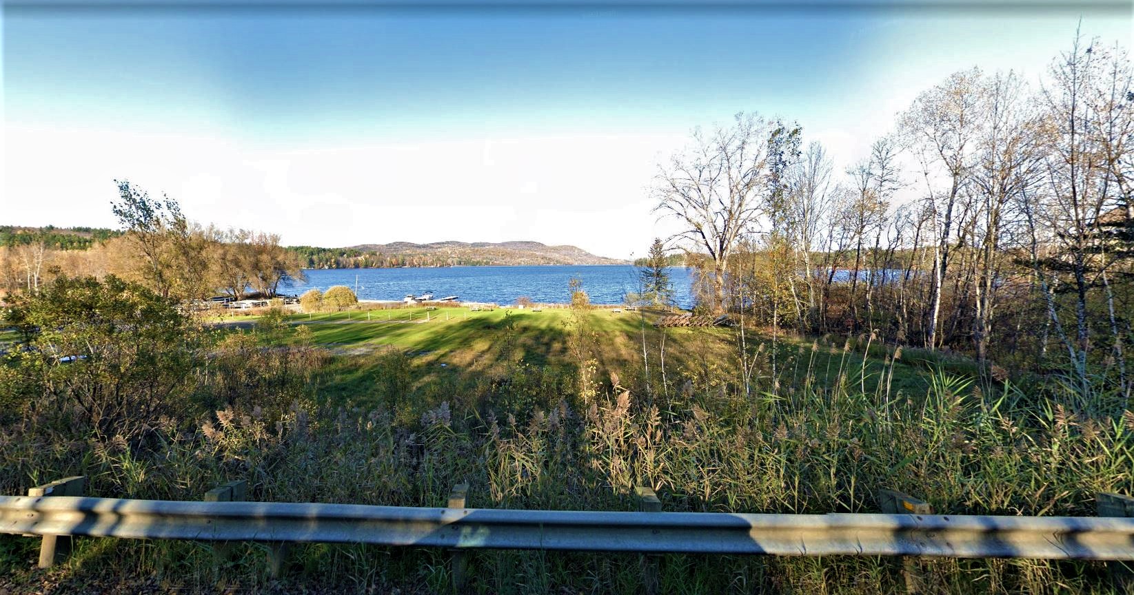
, Fitch Bay (Canton de Stanstead)
Panoramas of forests and mountains along Fitch Bay. Take the opportunity to see the Narrows Covered Bridge, located nearby.
Chemin de Way's Mills, Way's Mills (Barnston-Ouest)
, Way's Mills (Barnston-Ouest)
A heritage path between fields and forests.
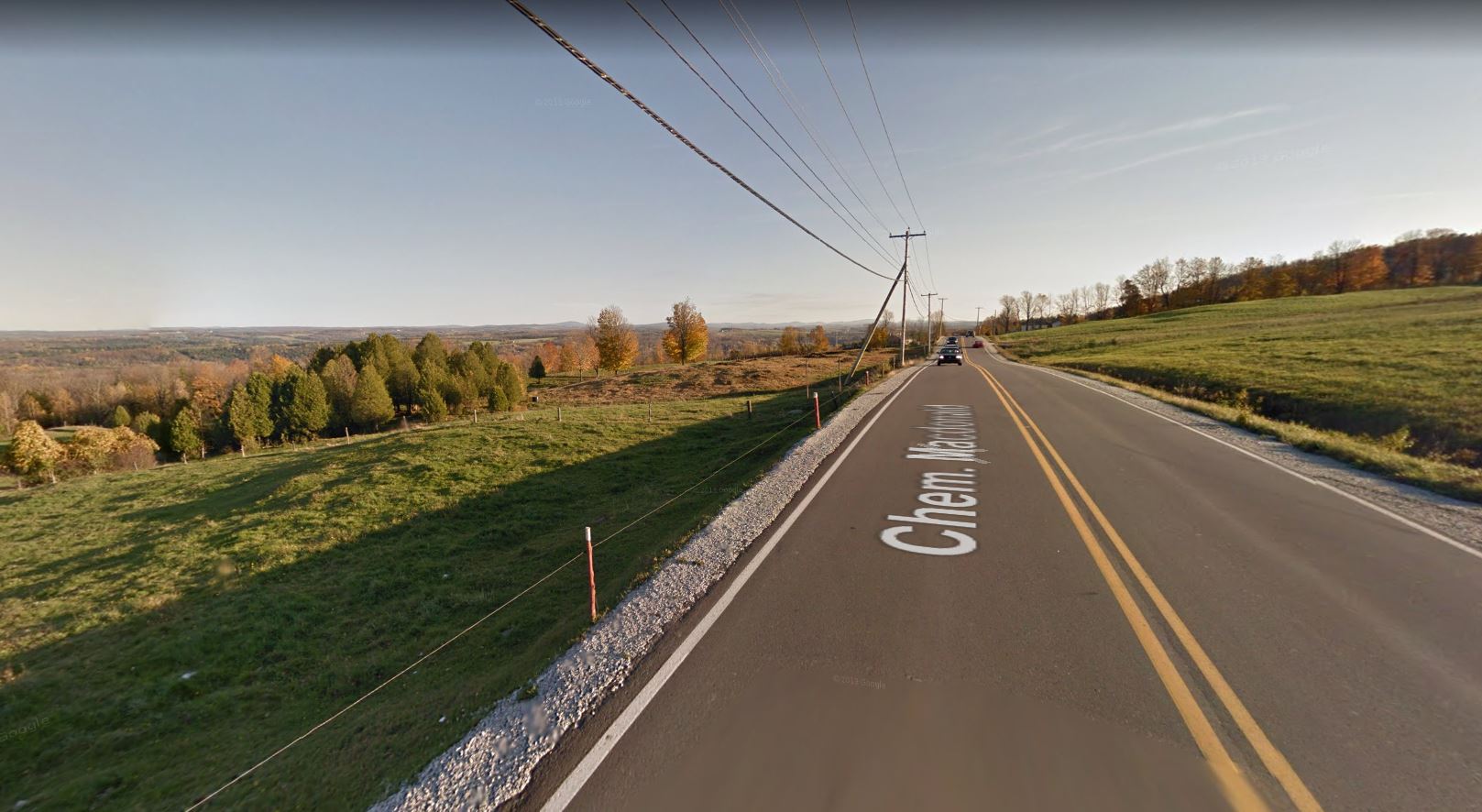
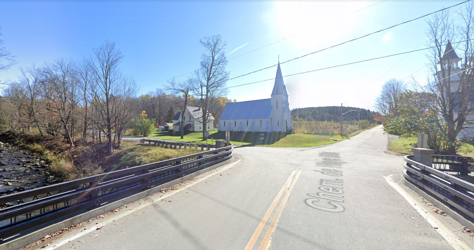
Chemin de Saint-Armand, Frelighsburg
, Frelighsburg
One of the most beautiful villages in Quebec.
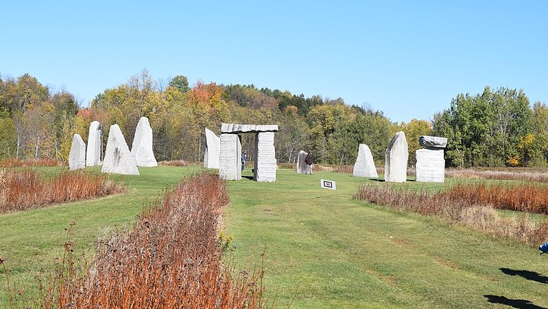
Stone Circle, Stanstead
, Stanstead
Made of local granite, the Stanstead Stone Circle is a perfect place to enjoy nature and rejuvenate.
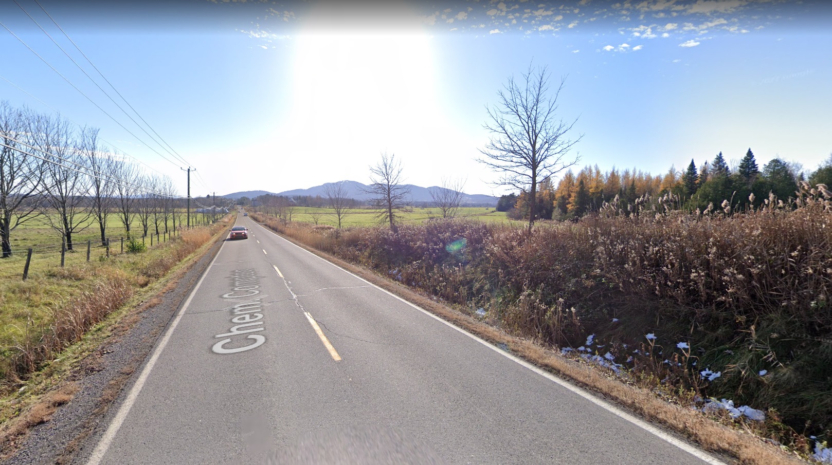
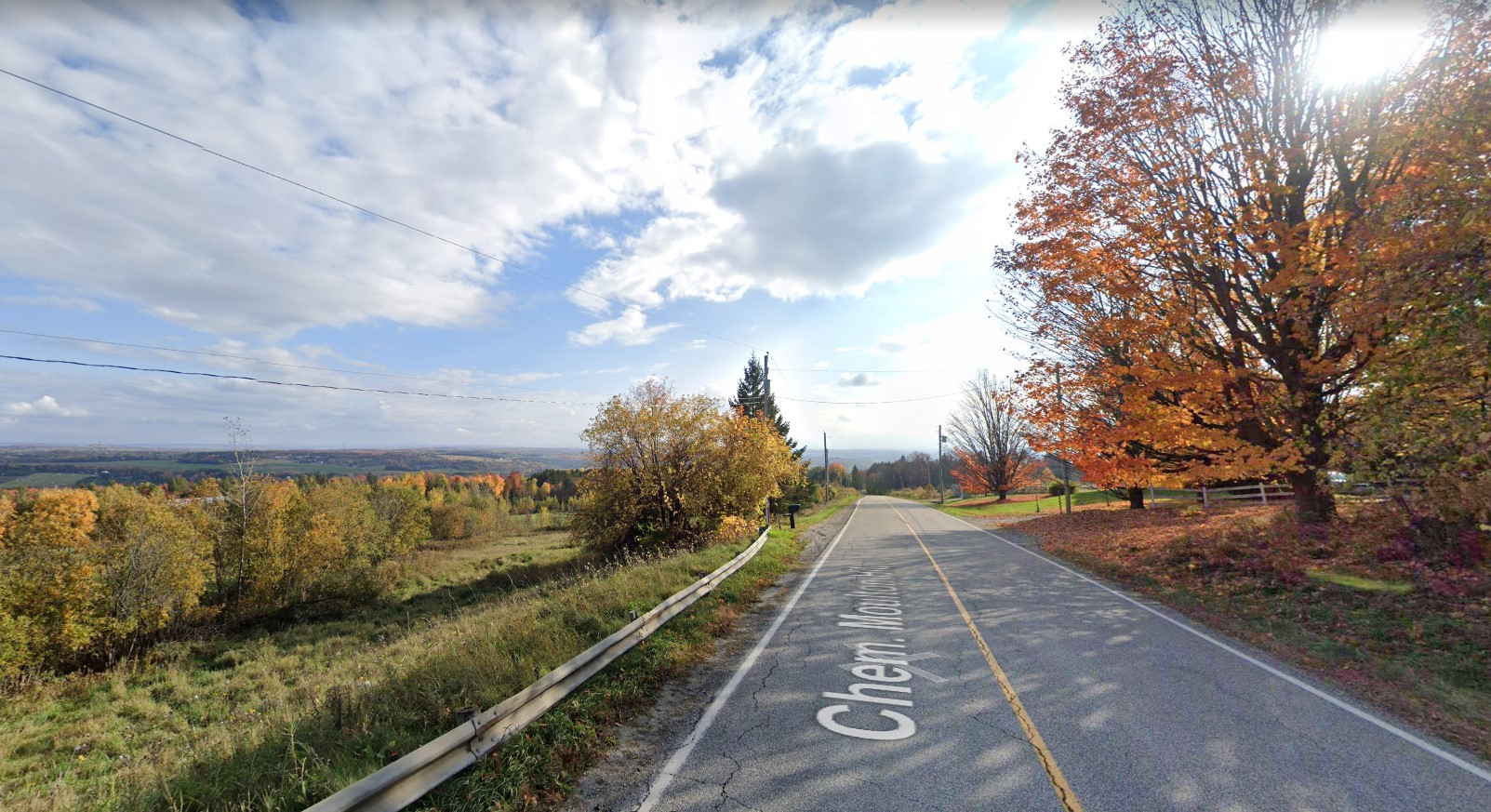
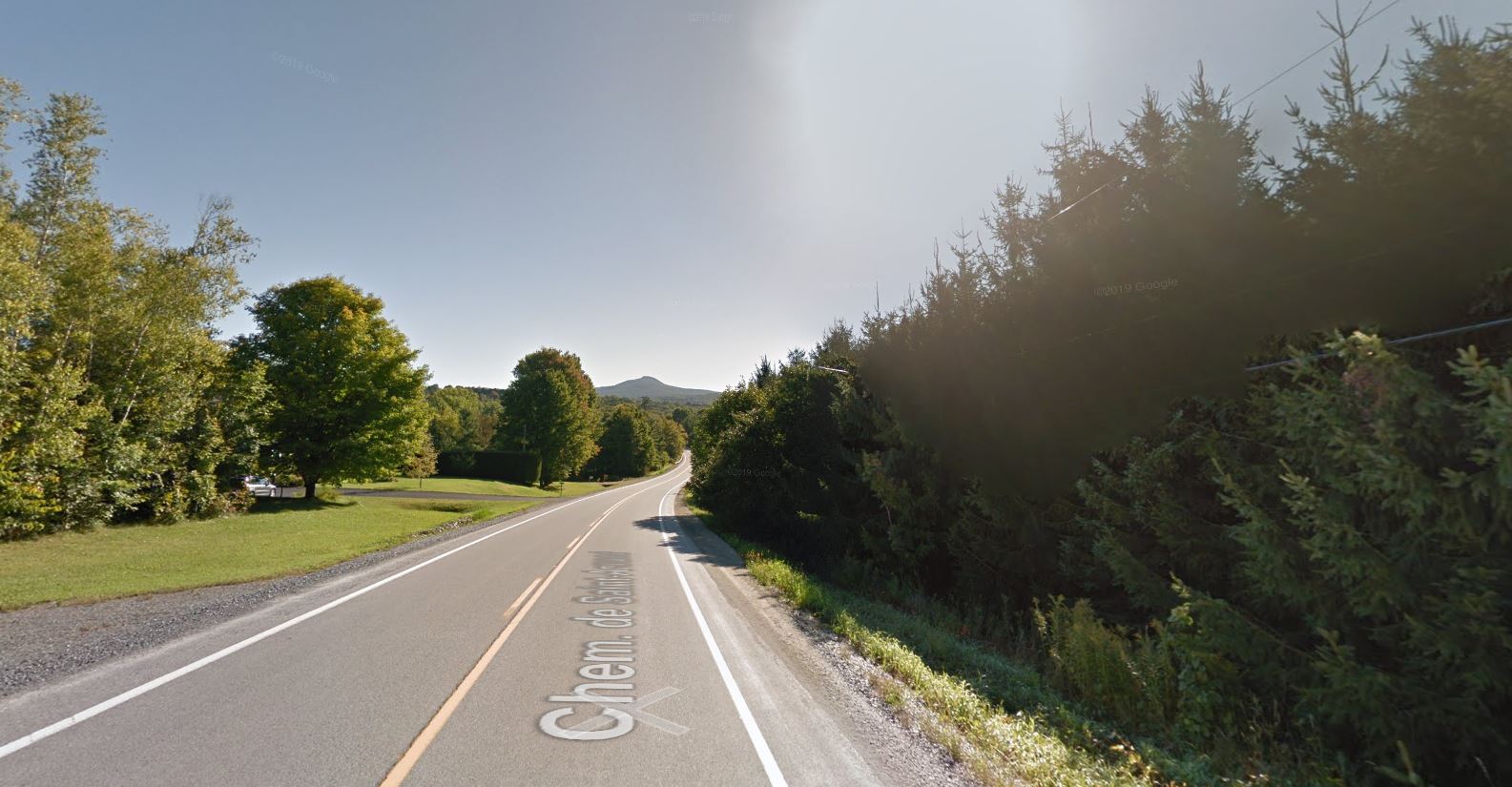
, Compton J0B 1L0
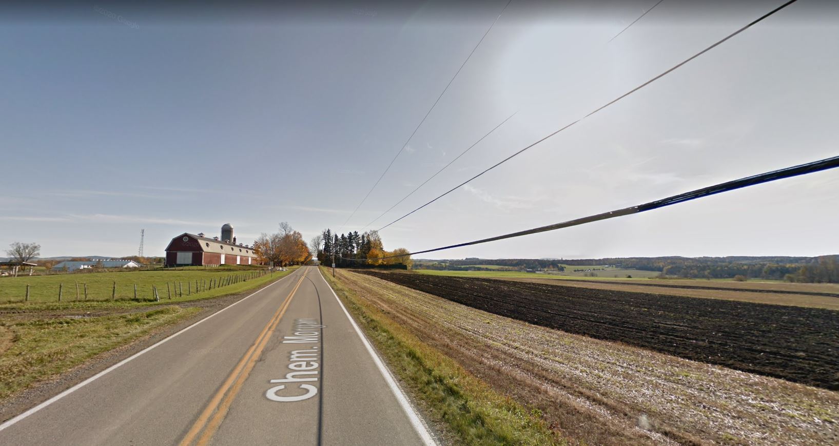
Don't hesitate to stroll along Chemin Cochrane. You will certainly be amazed by the tree arches and the endless valleys.
